Our Historical Background
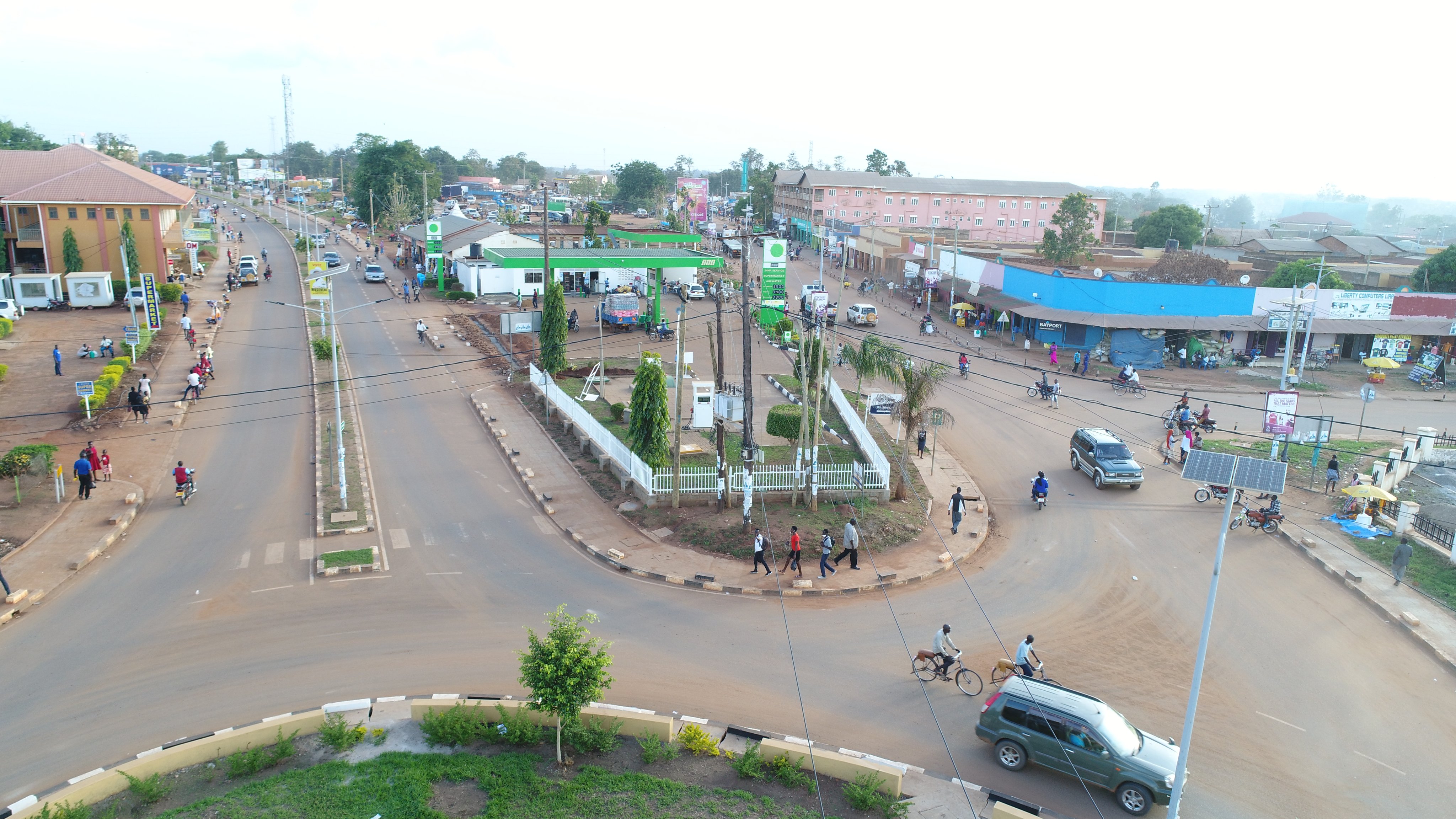
Lira City started as trading centre in 1919 and became a township in 1933. In 1954, the township became a town board. It became a town council at independence in 1962, municipal council in 1985 and became a City Council in 2020. The City derived its name from the Lango Clan called “Lira” clan who first settled in the area. Lira City is located in Northern Uganda, Lango Sub Region. It is geographically located in the centre of Uganda at latitude 20’ 17′ north of the equator and longitude 32’ 56′ east of the principal meridian. The City is bordered by Pader and Lira districts in the North, Otuke district to the Northeast, Alebtong district to the East, Dokolo district to the Southeast, Apac district to the Southwest, and Kole district to the West. It is located 110 kilometers Southeast of Gulu City. It is 320 kilometers North of the Capital City (Kampala).